Five of my Favorite Hikes in New Mexico
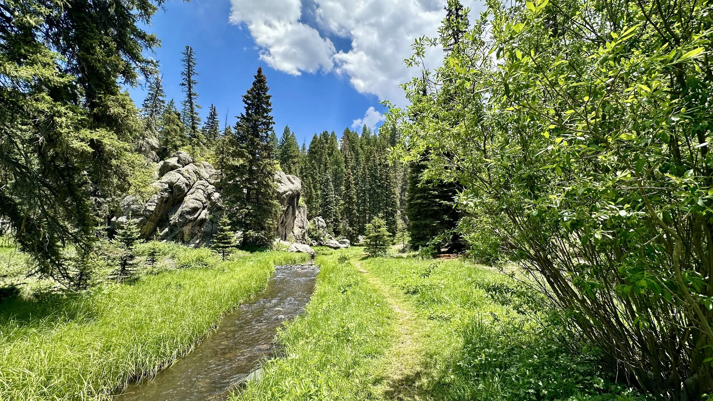
Las Conchas Trail in the Jemez Mountains in the spring. Nothing is better than all that green!
Since I have been living here in New Mexico for 4 years now, I feel that I have finally earned enough “local" clout to do favorite New Mexico hikes post.
So, without further ado (and in no particular order), here are 5 of my favorite hikes in the Land of Enchantment.
We will start with two of the bigger day hikes and end with the shorter ones.
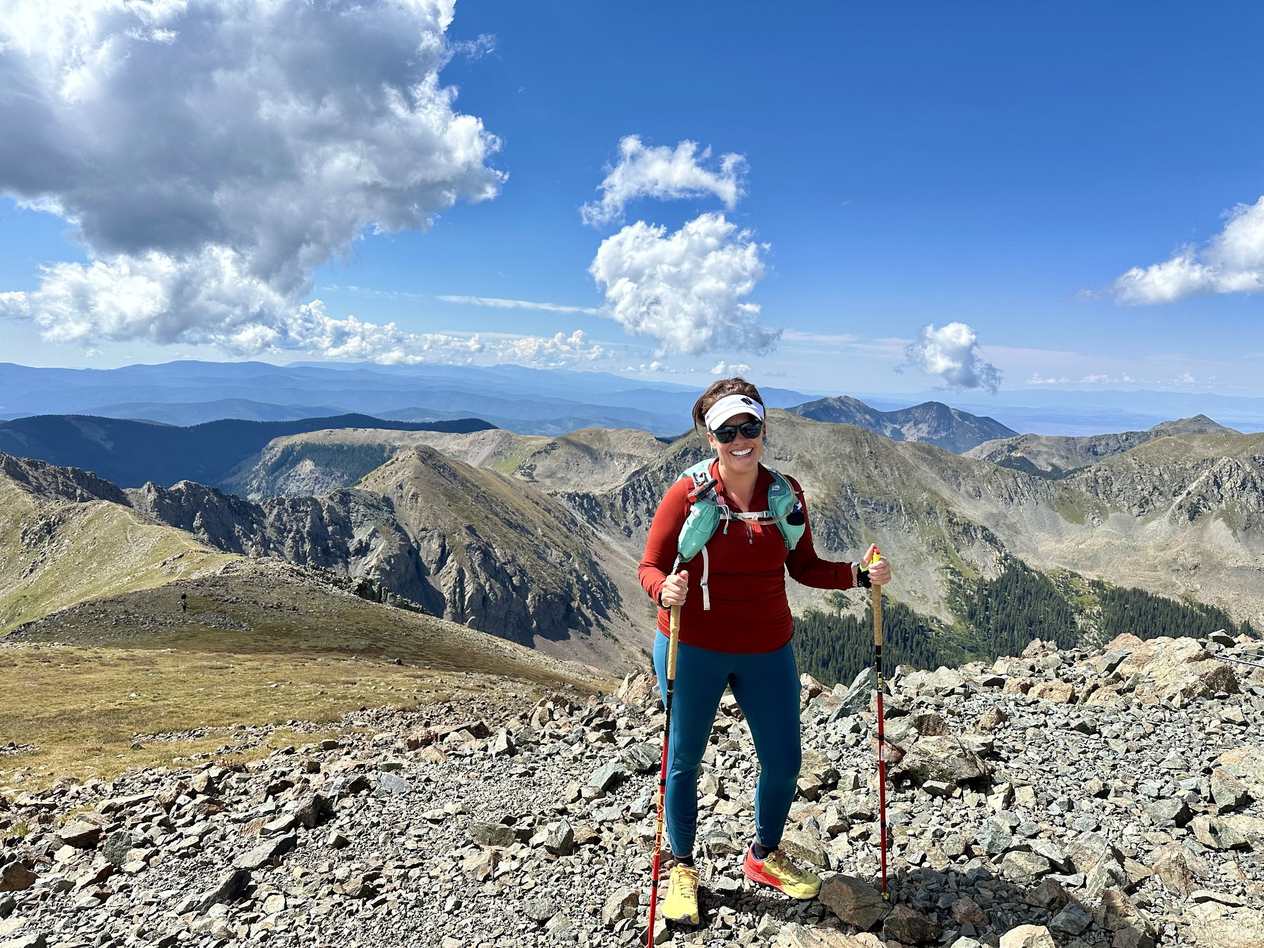
Top of Mt. Wheeler. I did this hike on Aug 31, 2024. Planning to head back up there in September since I need to get back up there before the snow comes! (P.S. Why am I standing like that? Ahahaha…)
1. Wheeler Peak (taos, NM)
Celebrated for being the highest point in New Mexico, Wheeler Peak tops out at 13,161 feet. It’s a fabulous hike that I did in late August 2024. Due to it being monsoon season (means we get thunderstorms in the afternoons) in July & August started out early, right before 7 AM. I had clear skies for my hike up, stayed up on top for about 45 minutes to eat my sandwich, take photos, and hang out with the other people at the summit.
I left the top when the wind picked up and I’m glad I did because the dark clouds rolled in as I started my hike down. But fortunately the clouds rolled back out by the time I got back down to the bottom of the trail.
I would recommend the trail that I took because it passes right by a beautiful alpine lake, Williams Lake which sits right above 11,000 ft. You’ll start at the Taos Ski Resort , so there’s lots of parking and restrooms (bonus!).
The trail I took up was the Wheeler Peak via Williams Lake Trail which is 8.3 miles round trip and 2,972 ft of elevation gain according to AllTrails. I did a little over 9 miles and 3,136 ft of elevation gain due to adding in that side trail trip to Williams Lake (totally worth it!). A lot of people actually only hike up to Williams Lake (a little less than 2 miles up from the start), so the first half of the trail can be busy.
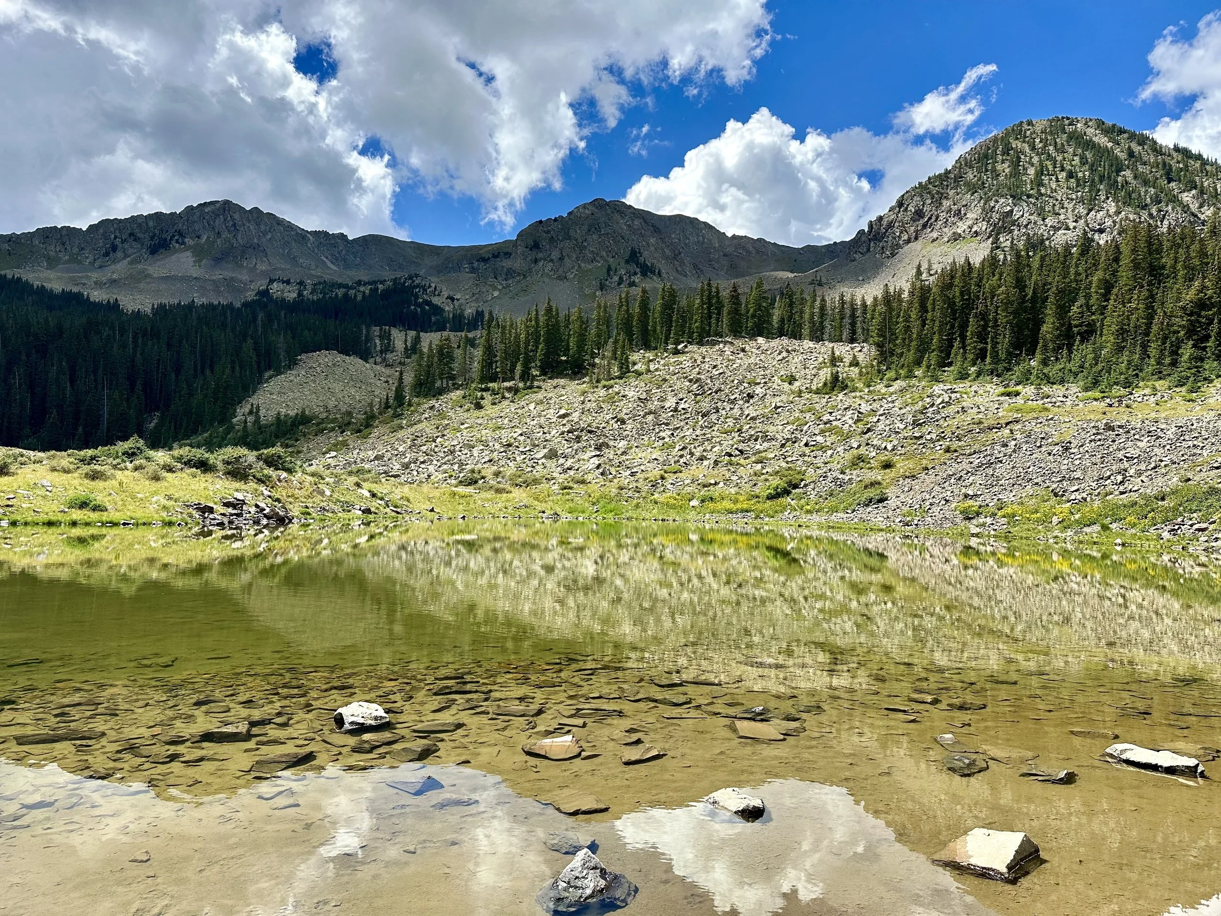
Williams Lake, elevation 11,040 ft. It’s a small alpine lake, but still quite stunning. Next time I visit Wheeler, my goal is to hike up to Williams Lake with the inflatable SUP and then paddle it when I get there. It will be hard, but I think I can do it.
The hike took me 5 hrs and 25 minutes in total because I took my time. Took lots of photos along the way, stayed at the summit for 45 minutes, and added in the side quest to Williams Lake.
100% would recommend this hike to anyone, and am looking forward to doing it again this summer.
My best suggestions for the Wheeler Peak hike are…
Go in the summer. Even in August it was 38 °F when I started at the base of the trail at little before 7 a.m. If going in July & August, be sure to leave the summit in the AM since thunderstorms hit almost every afternoon due to it being monsoon season.
Arrive early to get good parking and miss the busy first 2 miles. I arrived to the trail at 6:30 am on Saturday and there were lots of cars already there.
Bring plenty of water and snacks. The base of the trail starts around 10,000 ft and you’re going up to 13,161 ft. I don’t know about you, but I get hungry when I’m up high. I brought enough water, I didn’t need to filter any, but there are water sources for the first two miles if you want to filter water.
Look for Marmots the last mile of the hike. These little guys are so much fun to watch!
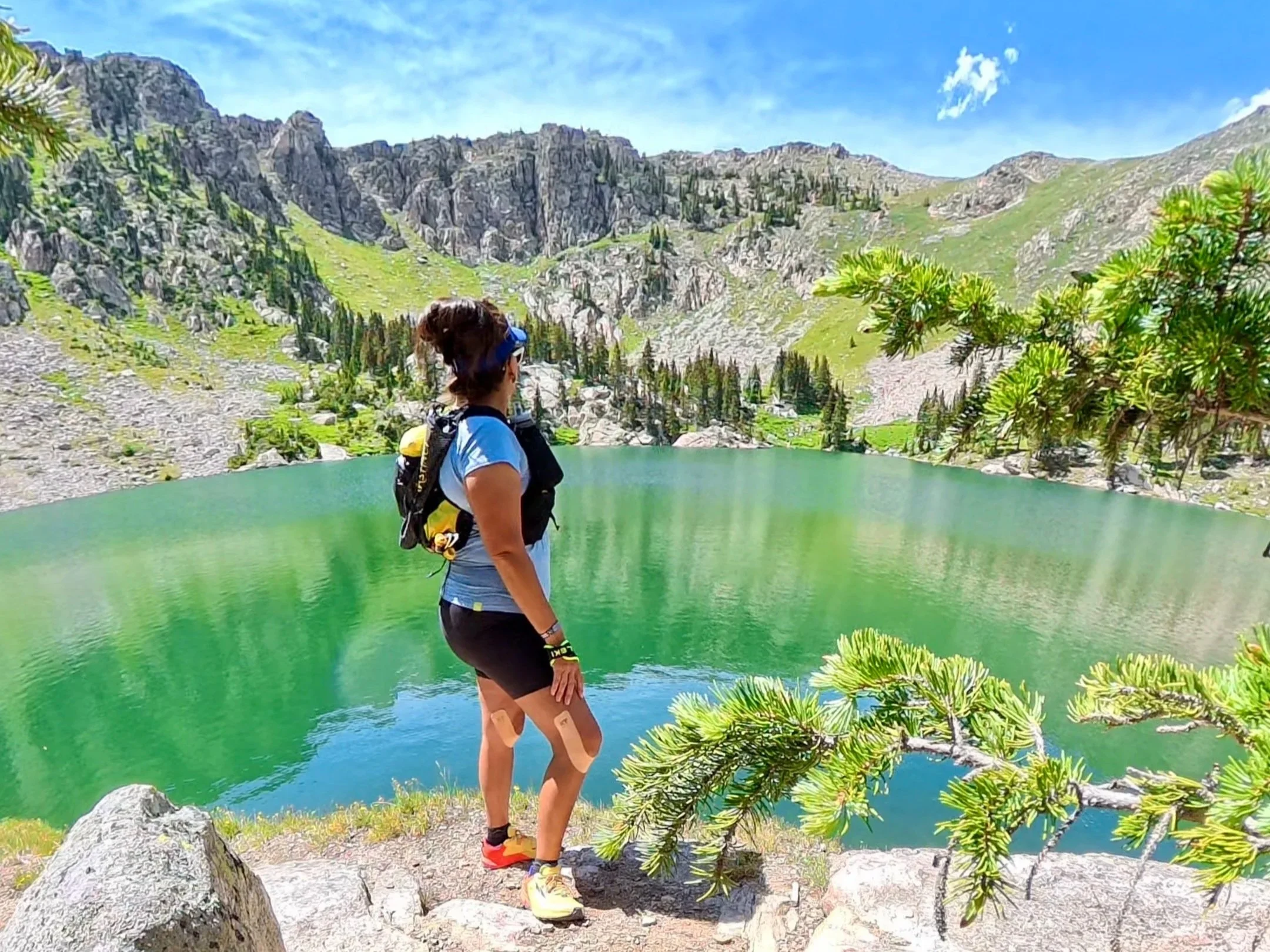
Lake Katherine sits around 11,700 ft and is one of the highest alpine lakes in the state. (And if you need extra knee support climbing the trail to get to this lake, I recommend KT Tape Pro. It’s like a supportive hug for your knees.)
2. Lake Katherine (Santa Fe, NM)
I LOVE this hike. But it can be a long day if you take the trail I did which was the Lake Katherine via Windsor Trail. Round trip, its 14.2 miles with 2,982 ft of elevation gain according to All Trails. Since I explored around the lake a bit and went off trail a few times, I tracked 14.8 miles and 3,292 ft of elevation gain in 7 hours, 10 min.
Can you do it faster? Absolutely. But this is a beautiful hike, so I like to enjoy it, take lots of photos, and stop for a lunch break at the lake. I plan to return this summer to camp overnight by the lake since it’s a popular camping spot. Lots of folks turn this hike into a multi-day backpacking trip, adding in side quests to nearby Mt. Baldy.
The trailhead is located off the side of the Santa Fe Ski Area which already sits a little above 10,000 ft. Starting off on Windsor Trail is such a pleasure because it’s well-shaded (first half mile is steep) by old growth trees in the beginning. In the first three miles, you cross the streams a few times so there is plenty of opportunity to filter your water and refill flasks or your hydration bladder. The views along the way are stunning and contrast with normal desert brown palette of the most of the state.
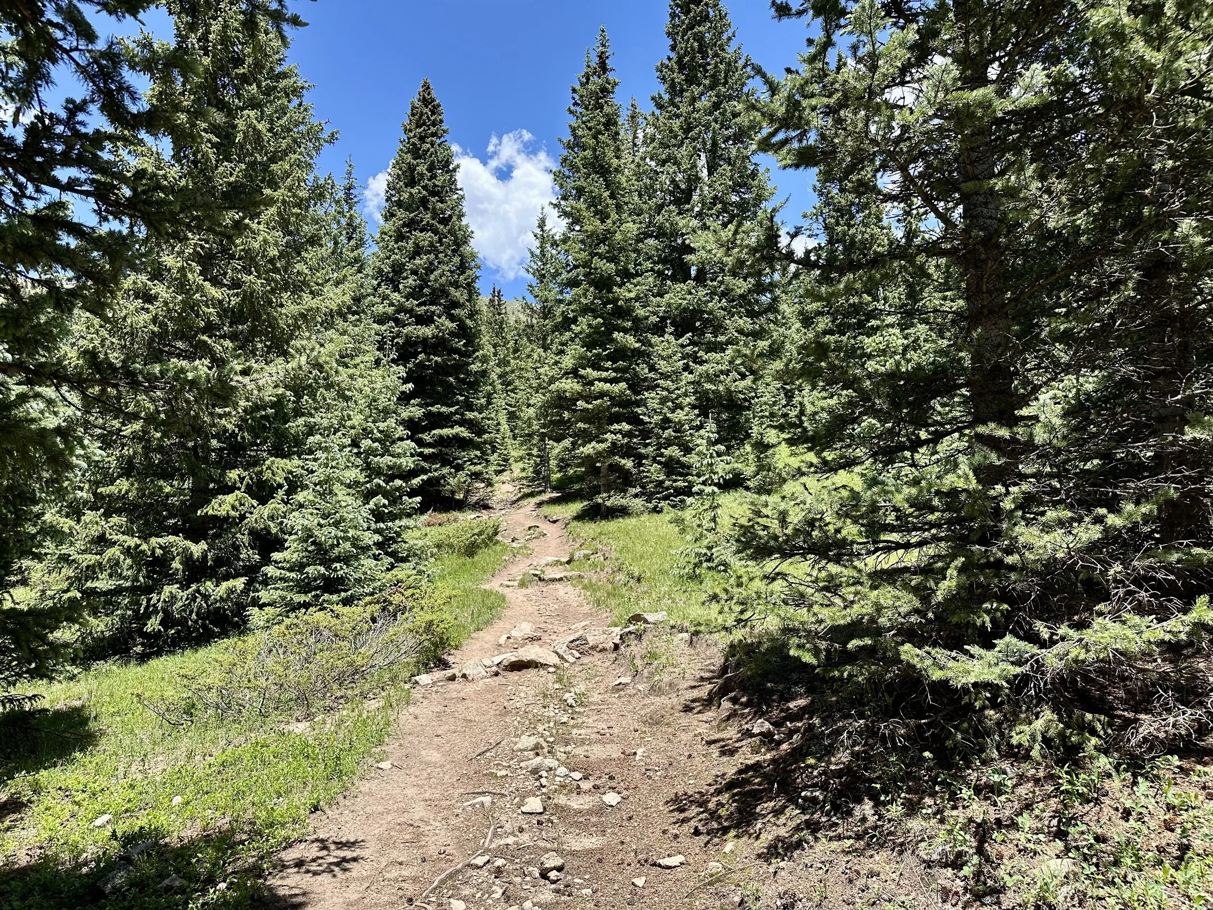
Windsor Trail is always beautiful!
My best suggestions for the Lake Katherine via Windsor Trail hike are…
Go in late spring (after the snow melts), summer, or early fall (before the snow). This trail is beautiful in the snow, but it can be hard to traverse in the winter due to lots of snow and ice. If you plan on going in the winter, bring snowshoes, microspikes, and poles.
Bring lots of snacks and a lunch if you’re doing the full day hike. Calories are your friend when you’re hiking in the high elevation. Each time I do this trail, I end up passing out snacks on the way back down to exhausted hikers.
Be mindful of the weather. We have monsoon season in July & August each summer which means thunderstorms hit in the afternoons. I have turned back on this trail more than once due to crazy loud thunder and close lightning strikes.
If you plan to refill your water in the streams or lake, definitely filter the water! I used the Hydrapak 42mm filter cap on my soft flask and it worked great.
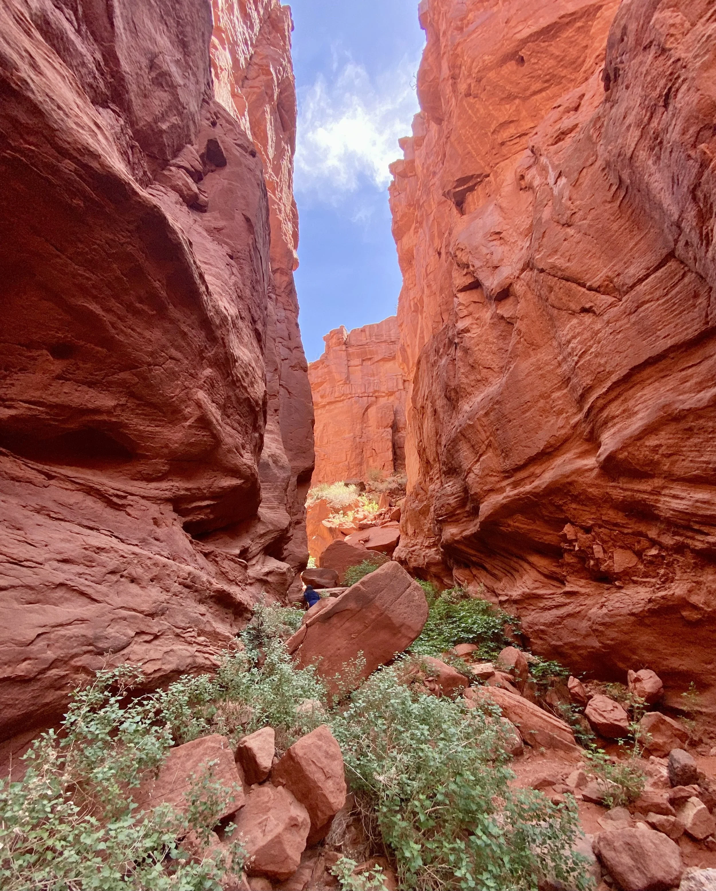
Can you find my mom in this photo? This is one of the small slot canyons you can explore along the Red Rocks trail in Jemez.
3. Red Rocks Trail (Jemez Pueblo, NM)
Much shorter than any other trail on this list, this one is only 1.2 miles long. But it’s such a little charmer of a trail!
Located on Jemez Pueblo, you’ll need to purchase a hiking permit from the Walatowa Visitor’s Center across the street from the trailhead before doing this trail. I’m going to be honest….for such a short trail, the hiking permit is a little on the expensive side, $12 per person, (it used to be much cheaper a few years ago). BUT the trail has slot canyons and some good photo op areas. In fact, many of high school seniors do their senior photo shoot sessions there.
I am a Native from Jemez Pueblo, so I do know that they have put a lot of work into improving this trail and making it an enjoyable experience. The money from the permits go right back into the Pueblo, so you can feel good about supporting local. You can learn more about the trail, permit, and hours here.
There is small slot canyon that is .2 miles long and its walls run 200 feet high. While you’re not allowed to climb the large rocks along the trail, you can explore the slot canyon which is a lot of fun. My mom and I did this together and thoroughly enjoyed it!
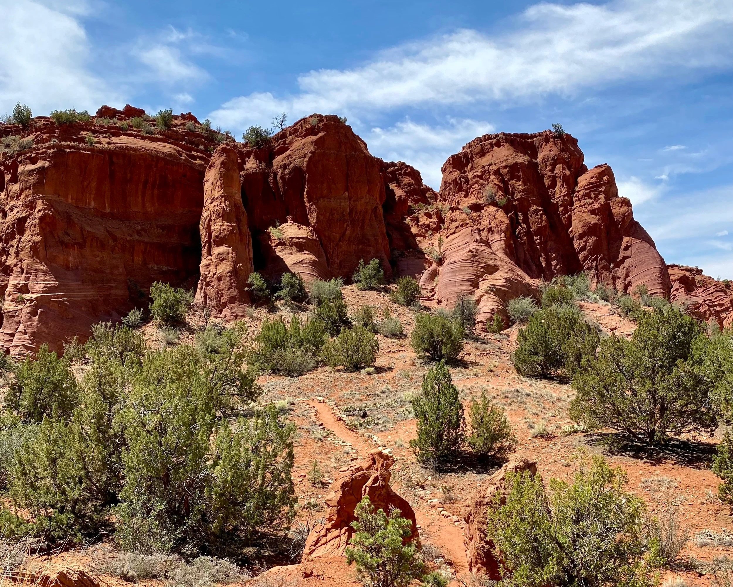
This is a fun trail to run down.
My best suggestions for the Red Rocks Trail hike are:
If you go on a weekend and people are selling food at the Red Rocks be sure to try some fry bread and purchase some oven bread to take home! Folks from Jemez Pueblo usually set up at the stalls to sell on the weekends and holidays in the warmer months. Busiest time is lunch time, so I try to grab my fry bread before the lunch rush.
Explore the Walatowa Visitor’s Center (open 9-4 pm in winter and 9-5 pm in summer) and Walatowa History Museum (located in the Visitor’s Center) either before or after your hike. The Visitor’s Center has a fun gift shop and coffee shop inside, so it’s a great place to shop or grab an ice cream bar after your hike.
This is a trail you can do with kids, and while they also allow dogs please only bring your furry friends when it is cool out. In the sun, that trail can feel about 10 degrees hotter than air temperature so no summer hikes with your pups on this one!
For photos that show the sun shining on the Red Rocks, go in the late morning or afternoon. Since the sun rises in east behind the Red Rocks, it takes awhile for the sun to shine on the rocks.
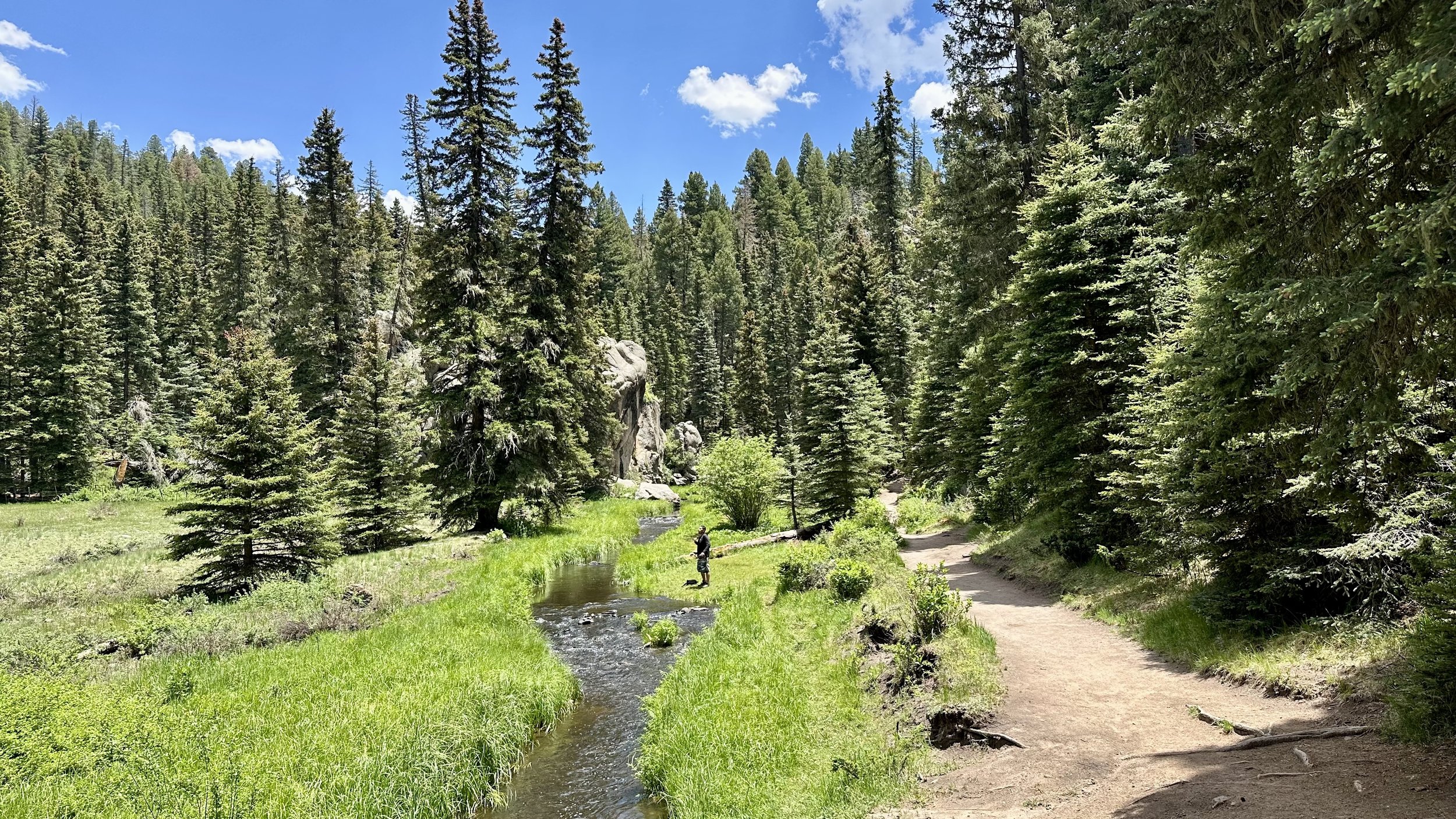
I used to live in Hawai’i for 13 years and miss the luscious green of the islands. The Las Conchas Trail in June brought me some much needed green therapy!
4. Las Conchas Trail (Jemez Mountains, NM)
I think this is the most beautiful trail in the Jemez Mountains. I like to start at the East Fork Trailhead, where there is a small free parking lot on the side of the road. Alltrails calls this the East Fork Trail via Las Conchas and says it’s 5.6 miles with 505 ft of elevation gain.
But if you just want to do the Las Conchas Trail (and not do any of the connecting East Fork Trail) then it’s only a little over 4 miles out and back.
I was surprised when I saw that there was 505 ft of elevation gain because I remember this trail as being pretty flat, but there is a small bit of up and down. The reason I love this trail is that it follows the small, meandering river, and opens up into some fabulous meadows. Due to the river, this trail tends to be very green.
The day my cousin and I did this trail, we were the only people on the hike out since we arrived around 8 am (ran into several people on the way back though), and he commented on how peaceful and relaxing it was. I was just sad I didn’t bring my dog that day since she would have loved playing in the river.
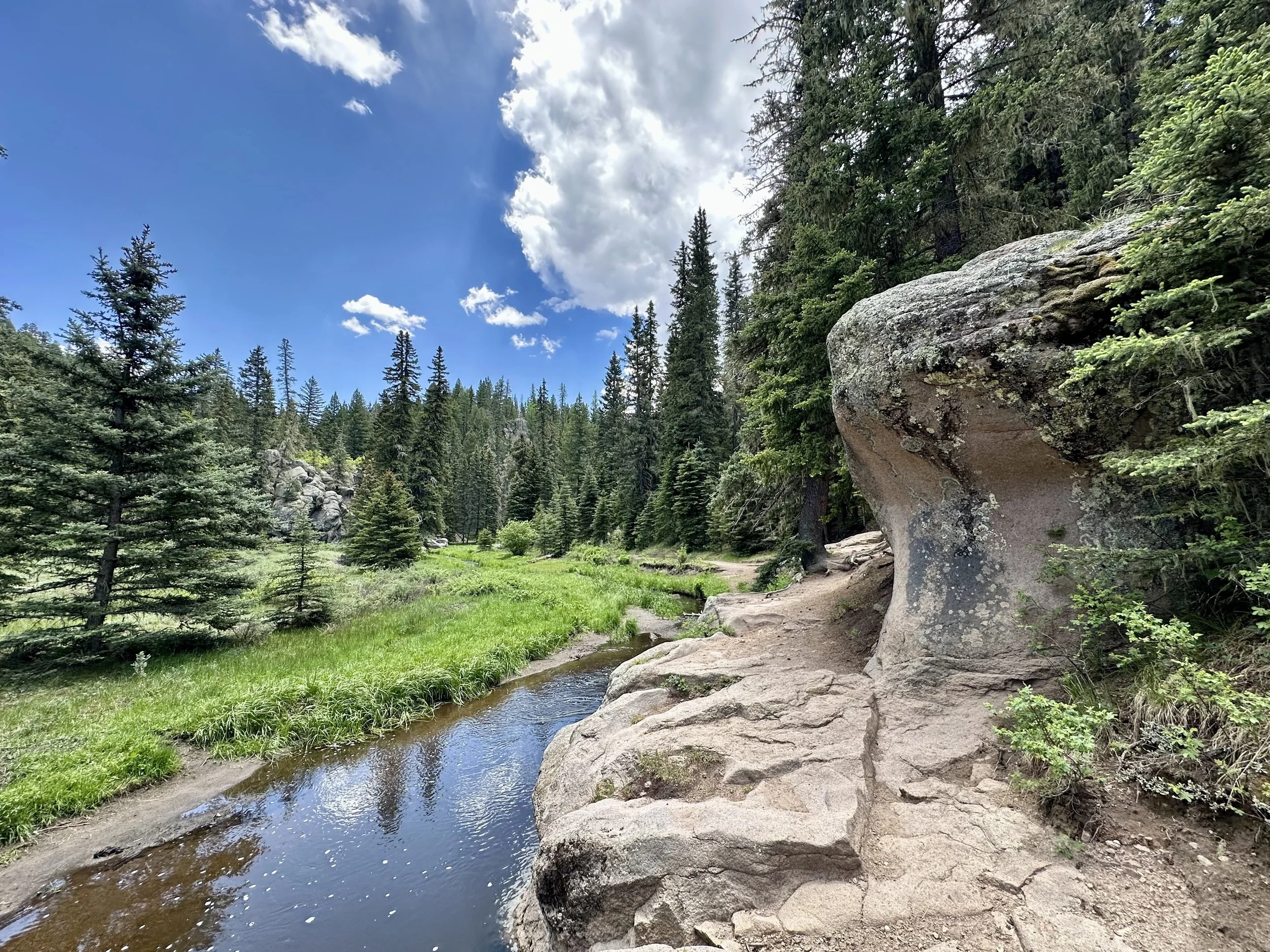
There are plenty of spots to step off the trail and enjoy this small sliver of the Jemez River. This hike is 100% worth taking a mental health day off of work!
My best suggestions for this hike are:
This trailhead sits at 8,400 ft, so recommend hiking it in the warmer months so you don’t have to worry about snow or ice.
Go on a weekday morning, if you can. The earlier the better as the parking lot isn’t very big. I haven’t got there on the weekend, but they say by 9 am, the parking lot gets full. There is another parking lot a little farther down the road, if need be.
If you want to make this a longer hike, connect with East Fork Trail. You can make it a 10 mile round trip if you go all the way to the other end of the trailhead. But note, East Fork Trail is not nearly as beautiful as the Las Conchas part.
If you bring your dogs, make sure to pick up any poop! Also, please take your poop bags out with you. There are some days when people forget the poop bags along the trail and no one enjoys seeing that.
FYI…there was been a bit of buzz on social media earlier this summer about dogs getting sick after drinking the water from the Jemez River along the Las Conchas Trail. A bacteria in the water, apparently. I haven’t been able to confirm it, other than some people sharing their personal experiences. But something to be mindful of.
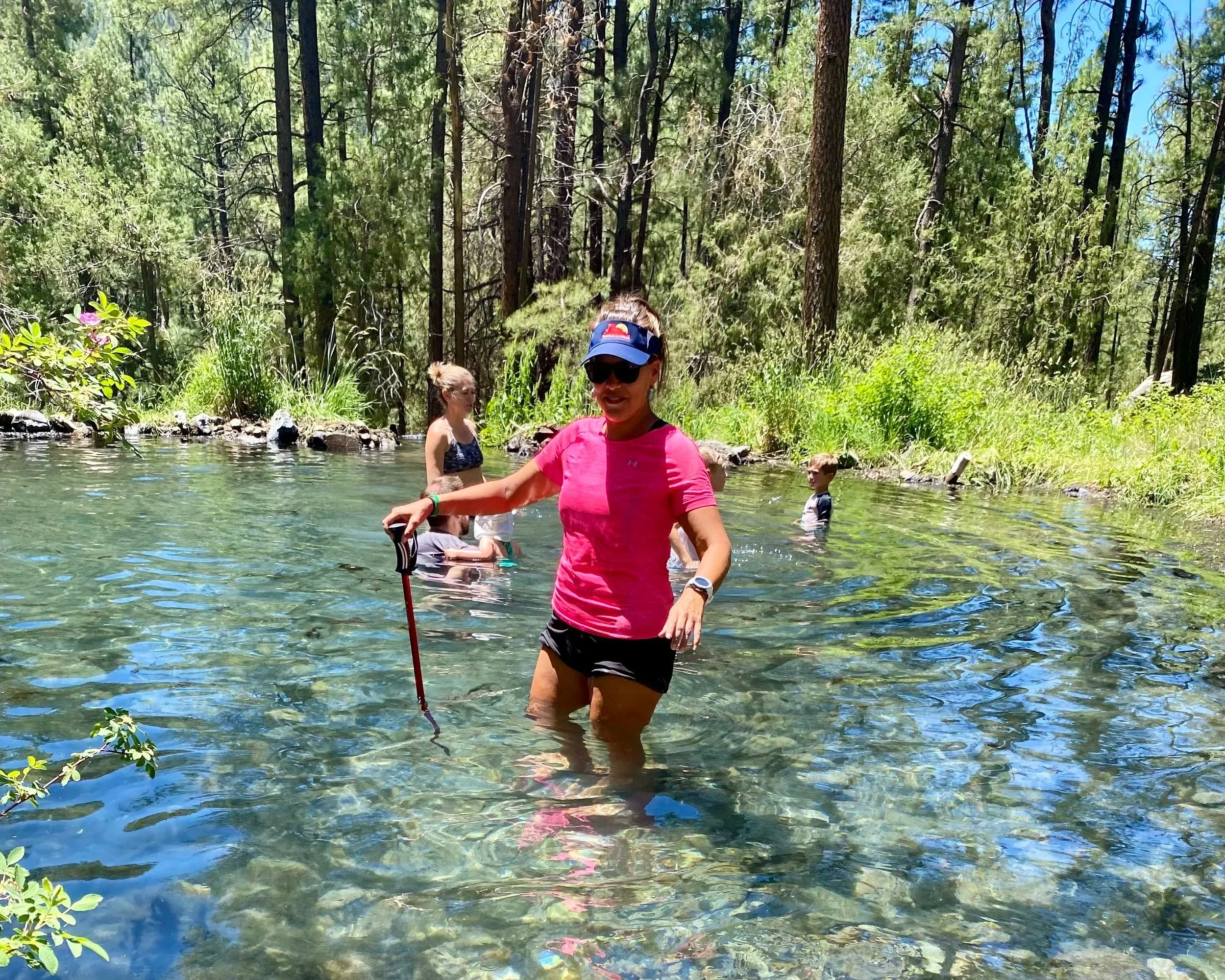
The look of McCauley Warm Springs can change from year to year due to the vegetation overgrowth. This year it appeared quite wide.
5. McCauley Warm Springs (jemez Mountains, NM)
Though it’s also known as McCauley Hot Springs, these natural springs are definitely just warm. To get there, you’ll want to take the East Fork Trail in the Jemez Mountains. AllTrails also refers to them as McCauley Hot Springs, and the trail map they have is solid to get you there.
It’s about 3.5 miles out and back. Overall, a moderate hike, but the first part is steep. So, don’t feel bad about taking a break in that first mile if you need it. I also recommend following the trail map your first time there since some of the trail seems to branch off in different directions.
As you’ve already noticed in this post, most of my photos are taken in warmer weather (no snow) so I have only visited the springs in the late spring and and summer months. So, I am biased (I hate the cold) when I recommend this hike for warmer days. I know lots of folks head there in the winter, but oftentimes the campgrounds leading to the trailheads are closed in the winter and the trails can be quite icy. The springs sit at around 7,300 ft, so the hike out is cold in the winter.
BUT the upside for winter hiking is that you would get to soak in the warm springs. I’ve never taken the water’s temperature, but one review I read on AllTrails said the water was 89° F. So, definitely not a hot springs soak. But it could warm you up.
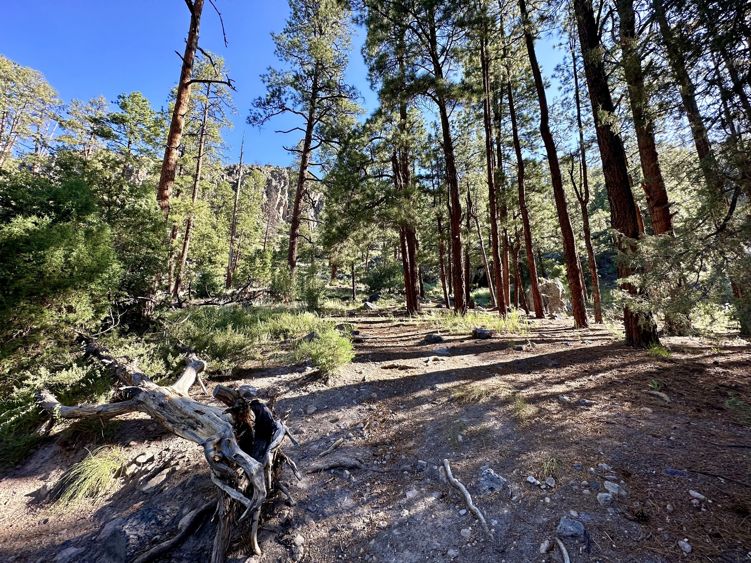
The trail to McCauley Warm Springs can converge with multiple trails at certain points, so if this is your first time hiking there, recommend following the map!
My best suggestions for this hike are:
If you prefer the trail all to yourself, go on a weekday OR start early in the AM on the weekend. This is a popular trail because everyone wants to see the springs, so there can be a lot of adults and kids there on the weekend.
As a fyi….there are tiny fish in the springs that nibble at your feet and legs. I googled to find out what kind of fish they are and apparently they’re feral guppies that were introduced into the springs on purpose in either the 1960s or 1970s. You can read more about the guppies here. It doesn’t hurt when they nibble on you, but I do find it a bit unsettling if I stand still since that’s when they nibble more.
Bring water and a snack! This isn’t a long hike, but because of the springs and other scenic views along the way, you may find yourself lingering more than you intended to along the trail. Remember, snacks fight off the hangry that could ruin an otherwise awesome hike!
If you want a longer hike, you can keep going on the East Fork Trail past the springs to Jemez Falls. It’s about 2 miles from the springs. If that sounds fun, I recommend referencing this AllTrails map for all the details. Hiking to see the springs and Jemez Falls would be about 7.5 miles round trip. I’ve done both in one day with a cousin and we ate our lunch on some rocks out at the falls before hiking back. Definitely recommend!
Just a note…if you start from the other end of the East Fork Trail, you can reach Jemez Falls in about half a mile. The only thing to know is that trailhead is located off the road with the entrance in a campground that is frequently closed in the winter and in fire season. If the gate to the campground is closed, you can park along the main road (I believe), but it’s a mile and a half hike to the trailhead from the road.
So, what do you think? Are you going to do any of these hikes? Or have you done all of these already? Don’t worry, I’m already working on a Part 2 for this post, so stay tuned if you need more hiking suggestions.
And if you do any of these hikes, I’d love to hear from you! Drop me a message here, or dm me on Instagram.
Speaking of the Gram, don’t forget to follow along on my upcoming adventures on Instagram. I haven’t posted as much as I wanted to this summer due to some family members’ health issues I’ve been helping with. But at the end of this month (August 2026), I will be heading to Europe to run the Tour du Mont Blanc, so the adventure life is officially back! If you aren’t familiar with the Tour du Mont Blanc, it is the famous 105 mile trail that goes through France, Switzerland, and Italy. I’ll be running with a group led by the trail running tour guide company, Run the Alps.
I’m so excited for that trip, so I look forward to sharing all about it with you here and on my Instagram page. Check back next week when I start sharing my packing and prep for the trip. Til then, adventure on!